MAPS
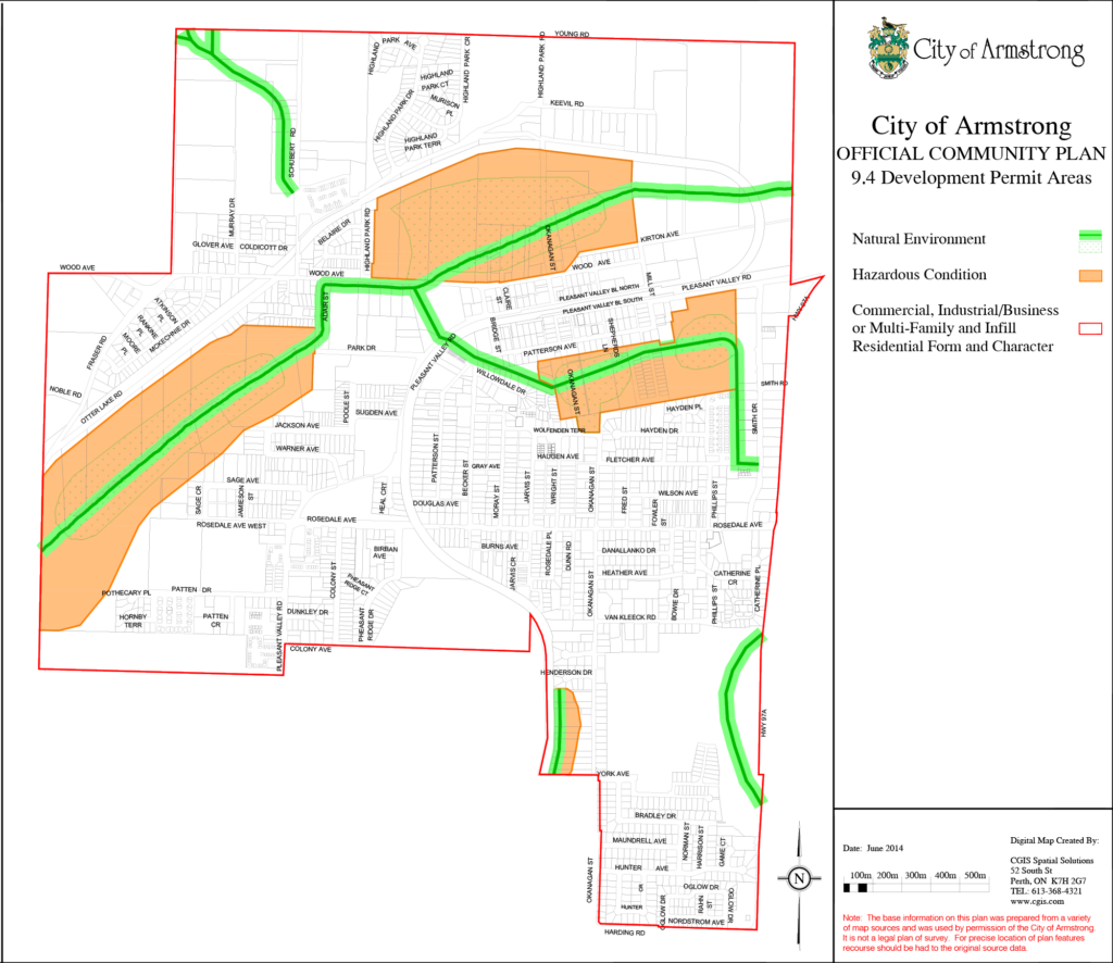
Armstrong CityMap is a Web-based application that lets you view data about the City of Armstrong in map form.

MAPS
Armstrong CityMap is a Web-based application that lets you view data about the City of Armstrong in map form.
CityMap Features:
- Property Lines
- Imagery
- Official Community Plan Land Use and Development
- Permit Information
- Zoning information
- Floodplain Mapping
- Street addresses
- Legal lot numbers and plans
- PID Numbers (Parcel IDentification)
- Public Parks
CityMap Features:
- Property Lines
- Imagery
- Official Community Plan Land Use and Development
- Permit Information
- Zoning information
- Floodplain Mapping
- Street addresses
- Legal lot numbers and plans
- PID Numbers (Parcel IDentification)
- Public Parks
Terms of Use
By accessing the CityMap information, you agree to these Terms of Use. The City of Armstrong does not warrant or guarantee that CityMap’s content is current or accurate and you use CityMap at your own risk. You acknowledge that the City of Armstrong is not responsible for the accuracy or reliability of information contained in or obtained from CityMap and you are solely responsible for confirming the content of CityMap with the relevant primary source of information. You agree to use CityMap solely for personal and private purposes and will not sell or license CityMap information, or operate a service bureau using CityMap, or otherwise use, reproduce, publish or disseminate CityMap for commercial purposes, directly or indirectly, without the prior written consent of the City of Armstrong and the holder of applicable copyrighted information. These Terms of Use may be changed for any reason and at any time without notice to you.
Terms of Use
By accessing the CityMap information, you agree to these Terms of Use. The City of Armstrong does not warrant or guarantee that CityMap’s content is current or accurate and you use CityMap at your own risk.
You acknowledge that the City of Armstrong is not responsible for the accuracy or reliability of information contained in or obtained from CityMap and you are solely responsible for confirming the content of CityMap with the relevant primary source of information.
You agree to use CityMap solely for personal and private purposes and will not sell or license CityMap information, or operate a service bureau using CityMap, or otherwise use, reproduce, publish or disseminate CityMap for commercial purposes, directly or indirectly, without the prior written consent of the City of Armstrong and the holder of applicable copyrighted information. These Terms of Use may be changed for any reason and at any time without notice to you.
About Armstrong
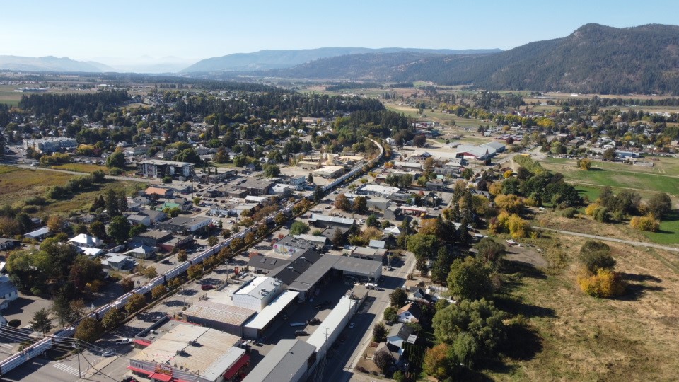
The City of Armstrong is a friendly community with a beautiful trails network, bustling downtown core and peaceful family-friendly atmosphere.
We welcome all those who wish to visit, live, or invest in this peaceful little city. Armstrong considered the “Heart of Country” is located in the heart of Spallumcheen Valley, between the sunny Okanagan and the bright Shuswap Valleys.


